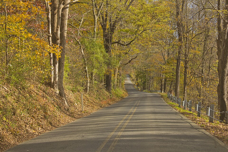
Anybody who drives the river corridor near Newtown after a hard rain knows how fast a normal trip can turn into a mess. According to a Sept. 4 report by NewtownPANow, flood gates have now been installed along River Road, a stretch that has a long reputation for taking on water during high-water events in Bucks County.
What NewtownPANow Reported About River Road
NewtownPANow reported that the flood gates are now in place along River Road in the Newtown area, giving drivers and nearby residents a visible change on a road that has flooded over and over. The story points to a real infrastructure upgrade, not another warning sign that everybody ignores until the road is already half under water.
As background, River Road in this part of Bucks County generally refers to sections of Pennsylvania Route 32, a state road maintained by PennDOT along the Delaware River. For people in and around Newtown, that corridor is part commuter route, part scenic drive, and part recurring headache when storms hit. Gates matter because they give officials a hard stop. That is a lot clearer than a cone, a sawhorse, or a driver deciding he can probably make it.
Why River Road Flooding Keeps Coming Back
The basic geography is the problem. As background, Route 32 hugs the Delaware through low ground, and low ground near a river eventually behaves like low ground near a river. When the Delaware rises, when runoff pours downhill after a hard storm, or when multiple waterways back up at once, roads like River Road are among the first places to go bad.
This is not some rare Bucks County fluke. The Philadelphia Inquirer reported during the remnants of Ida in 2021 that river flooding was expected across the region, and WHYY has shown in its Bucks County flood coverage how fast local water can turn deadly. According to FEMA, as little as 12 inches of moving water can carry away many vehicles. The National Weather Service has its own blunt warning for that reason: Turn Around, Don’t Drown.
So the new gates are about more than road maintenance. They are about behavior. People do dumb things around flood water because the road looked fine an hour earlier, because the detour is annoying, or because the water does not look that deep. A fixed gate takes some of that bad judgment out of the equation.

What This Means for Bucks County Residents
For drivers, the most obvious change is simpler closures. If the gate is down, that is the answer. You are turning around. That should reduce the usual last-second guessing game that happens when water is already creeping across the pavement and somebody still thinks a bigger car makes him immune to physics.
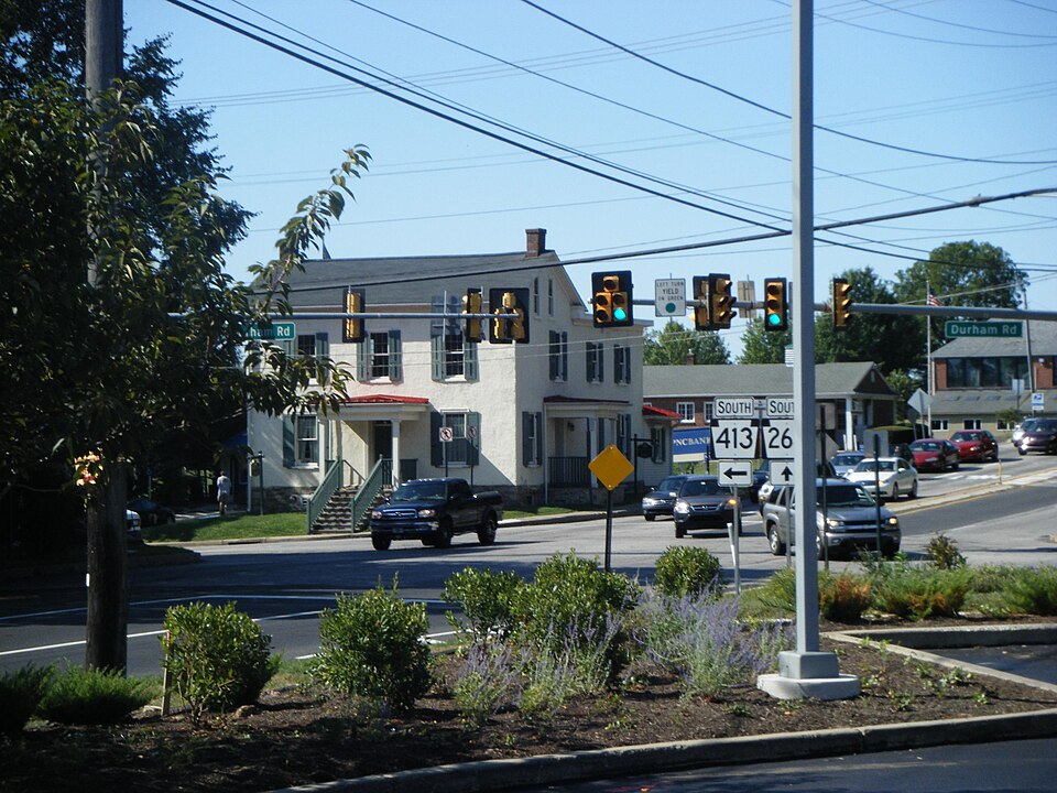
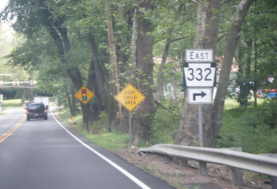
For nearby neighborhoods, the tradeoff is familiar. As background, when River Road closes in the Newtown area, traffic usually spills onto other routes such as 332, 413, 263, and 202. That can mean slower commutes, school pickup headaches, and more cut-through traffic on local roads. Anyone who follows our Bucks County news coverage has seen the pattern before. One flooded road rarely stays one road problem for long.
For the county as a whole, the installation is a reminder that flood trouble here is recurring, not theoretical. Bucks County government and the Commonwealth through PA.gov both keep emergency and recovery resources online because these storms keep hitting local roads, homes, and emergency services. People who live near the river are the first to feel it, but anybody who uses those roads ends up dealing with it sooner or later.
What Happens Next on River Road
The next real test is easy to guess. It will come with the next serious rain, the next river rise, or the next storm that dumps water upstream and sends it down toward Bucks County a few hours later. NewtownPANow’s report tells readers the gates are there. What locals will want to see next is how early they come down, how clearly detours are marked, and whether navigation apps catch up fast enough to keep drivers from swarming side streets.
Because Route 32 is a state road, any long-term flood response usually runs through PennDOT and coordination with local officials. As background, river communities across lower and central Bucks have dealt with the same old problem for years on roads close to the Delaware and other waterways. One set of gates will not stop flooding. It can, however, stop one of the worst parts of flood season, which is drivers meeting the closure by meeting the water first.
Drivers who use River Road should keep an eye on PennDOT travel alerts, township notices, and weather warnings before the next heavy rain. If local officials publish a map or an operating policy for the new gates, we will add it to more local stories.
Sources and Further Reading
- NewtownPANow – Sept. 4 report on flood gates installed along River Road.
- PennDOT – Pennsylvania transportation agency that maintains state roads such as Route 32.
- Newtown Township – Official local government website for the Newtown area.
- The Philadelphia Inquirer – Regional news outlet with prior coverage of Ida-related flooding.
- WHYY – Public media outlet with prior coverage of Bucks County flood emergencies.
- FEMA – Federal emergency agency with flood safety guidance.
- National Weather Service – Official weather alerts and flood safety messaging.
- Bucks County government – County emergency information and public services.
- PA.gov – Commonwealth of Pennsylvania government portal for state resources.