Bucks County added roughly 1,300 people between the last federal census and the most recent Census Bureau estimate. Not 1,300 a year. About 1,300 total, from 646,538 to 647,828. For a county of nearly 650,000 residents that is statistical noise, and it is the most useful thing to understand before you start looking at houses here.
Bucks is essentially built out. Most relocation guides describe it as a booming suburb soaking up Philadelphia overflow. The numbers say something quieter: a mature county where new households mostly move into existing houses. That fact shapes the inventory, the bidding and the tax structure you are about to inherit.
The shape of the county
Bucks is Pennsylvania’s fourth most populous county, covering 622 square miles, 604 of them land. It sits against Montgomery County and Philadelphia to the southwest, the Delaware River and New Jersey to the east, and Lehigh and Northampton counties to the north. William Penn founded it in 1682 as one of Pennsylvania’s three original counties.
| Measure | Bucks County |
|---|---|
| Population estimate | 647,828 |
| Population at last census | 646,538 |
| Median household income | $114,764 |
| Median value, owner-occupied home | $445,700 |
| Homeownership rate | 77.8% |
| Persons per household | 2.56 |
| Bachelor’s degree or higher | 44.8% |
| High school graduate or higher | 95.0% |
Those figures come from Census QuickFacts. The income and education numbers are survey estimates, not hard counts.
Fifty-four municipalities and no city
Bucks County has 54 municipalities: 23 boroughs and 31 townships. There is no city. Not a small one, not a technicality. Every square foot of Bucks is inside a borough or a township.
Boroughs are smaller, denser and older, built around walkable centers, run by a borough council, and they often keep their own police department. Townships cover more land, are governed by a board of supervisors, and range from dense inner-ring suburbs to working farmland. Municipal millage, trash arrangements and police coverage all differ municipality by municipality. A borough and the township wrapped around it can sit in the same school district and hand you very different tax bills.
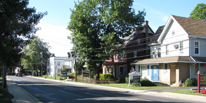
Doylestown is the county seat and has been since 1812. Before that the seat was Bristol from 1705 to 1726, then Newtown for 87 years. You can browse individual communities on our Bucks County towns index.
Upper, Central and Lower Bucks
Everyone here uses these three labels and none of them is official. There is no Census boundary, no county ordinance and no line on a map separating them. They describe character, and people disagree about the edges.
Upper Bucks
The northern end, and the most rural. Farmland, forest and wetland, anchored by Quakertown, Perkasie, Sellersville, Riegelsville, Nockamixon and Tinicum. In the late 1800s this was a major Pennsylvania cigar-manufacturing area.
Central Bucks
This is the part that grew sharply in the 1970s, and it shows in the tract housing and commercial complexes layered over older village centers. Doylestown, Chalfont, New Britain, Buckingham, Warrington and Warwick anchor it. New Hope and Solebury sit at the eastern edge and read as their own river-and-arts category.
Lower Bucks
The southern third, most populated and most industrialized. Flat and close to sea level in the Atlantic Coastal Plain, with malls, Parx Casino and the county’s densest housing. Bensalem, Bristol Borough and Township, Levittown, Falls, Middletown, Langhorne, Morrisville, Yardley and Newtown are all here. Bristol boomed on textile and iron factories in the late 1800s, and Levittown, built in 1951, was the largest suburban planned community in the country.
Levittown is not a municipality
This trips up almost every relocation article written about Bucks. Levittown is a census-designated place, not a government. It spans four municipalities: Bristol Township, Falls Township, Middletown Township and Tullytown Borough. There is no Levittown mayor, no Levittown council and no single Levittown tax bill. Two houses a few streets apart with the same mailing address can sit in different townships, different school districts and different tax brackets. Check the municipality of the specific address, not the town on the envelope.
Property taxes and the 1972 problem
Bucks County has not conducted a countywide reassessment since 1972. Every property carries a base-year assessed value pegged to 1972, which is why the millage rates below look enormous against assessments that look tiny. A house with a $20,000 assessment is not a $20,000 house.
The bridge between the two is the Common Level Ratio, a state-published figure of roughly 5.60 percent, expressed as a CLR factor of about 17.86. Multiply assessed value by the factor to approximate fair market value: $20,000 times 17.86 is about $357,200. That ratio is third-party sourced and it is revised annually, so confirm the current figure with the county before you rely on it.
County millage
| Component | Mills |
|---|---|
| General county purposes | 24.00350 |
| Debt service and lease payment | 3.47640 |
| Community college | 1.17770 |
| Parks and recreation | 0.99240 |
| Total county | 29.65000 |
School district millage
This is the table that decides your tax bill, and almost nobody publishes it in readable form. All figures come from the county’s official millage rate schedule.
| School district | Mills |
|---|---|
| Morrisville Borough | 279.86130 |
| Bristol Township | 237.17440 |
| Pennsbury | 211.14300 |
| Neshaminy | 198.01240 |
| Bensalem Township | 188.94740 |
| Quakertown Community | 181.80000 |
| Centennial | 178.69920 |
| Bristol Borough | 161.00000 |
| Central Bucks | 154.90000 |
| Council Rock | 149.96920 |
| Pennridge | 144.39490 |
| New Hope-Solebury | 127.97000 |
| Palisades | 123.41400 |
Put the two tables side by side. The county takes 29.65 mills. School districts take between 123 and 280. Your school district levy runs roughly four to nine times the county levy, before your municipality adds its own. If you are comparing towns on taxes, you are really comparing school districts.
Now look at the order. New Hope-Solebury and Palisades sit at the bottom. Morrisville and Bristol Township sit at the top. That ordering runs close to inverse to community wealth, and the mechanism is simple: a district with a large assessed tax base can fund its schools at a lower rate. Morrisville is the smallest district in the county and carries the highest rate, about 2.3 times New Hope-Solebury’s. A high millage rate is often a sign of a small tax base rather than lavish spending. We break each district down in our comparison of Bucks County school districts.
Appeals and the homestead exclusion
Assessment appeals go first to the Bucks County Board of Assessment Appeals and then, if needed, to the Court of Common Pleas. Filing deadlines change, so confirm the current one with the Board directly through buckscounty.gov rather than trusting any date you read online.
The homestead and farmstead exclusion, created by the Taxpayer Relief Act of 2006, reduces your assessed value before the tax is computed. A homestead is an owner-occupied primary residence and its land, including condominium and co-op units used as a domicile. A farmstead is a farm of at least ten contiguous acres with buildings used primarily for commercial agricultural production. You apply through the county assessment office by March 1 preceding the tax year. The relief is funded by Commonwealth allocations to school districts from gaming revenue and it is not guaranteed. Full rules are at PA DCED.
Income taxes
Pennsylvania levies a flat 3.07 percent personal income tax with no standard deduction and no personal exemption.
On top of that sits the local Earned Income Tax, authorized under Act 32 of 2008. It is set locally and combines a municipal portion and a school district portion, and your address is identified by a PSD code. Rates differ across municipal lines, so the most useful link in this entire guide is the Commonwealth’s address lookup at PA Municipal Statistics, which returns the EIT rate and PSD code for any specific address. Check it before you sign anything. A separate Local Services Tax is withheld by your worksite.
If you commute into Philadelphia, read this part twice. Philadelphia charges a Wage Tax to non-residents who work in the city, withheld by your employer at a non-resident rate the city sets and adjusts. Pennsylvania generally allows that payment to be credited against the local EIT you owe at home, and because the Philadelphia rate typically exceeds a Bucks EIT rate, most city commuters end up owing little or nothing in local EIT to their own municipality and district. Generally is doing real work in that sentence. Confirm your situation with your local tax collector or the DCED local income tax guidance.
Commuting
Three SEPTA Regional Rail lines serve Bucks County, and they are not interchangeable.
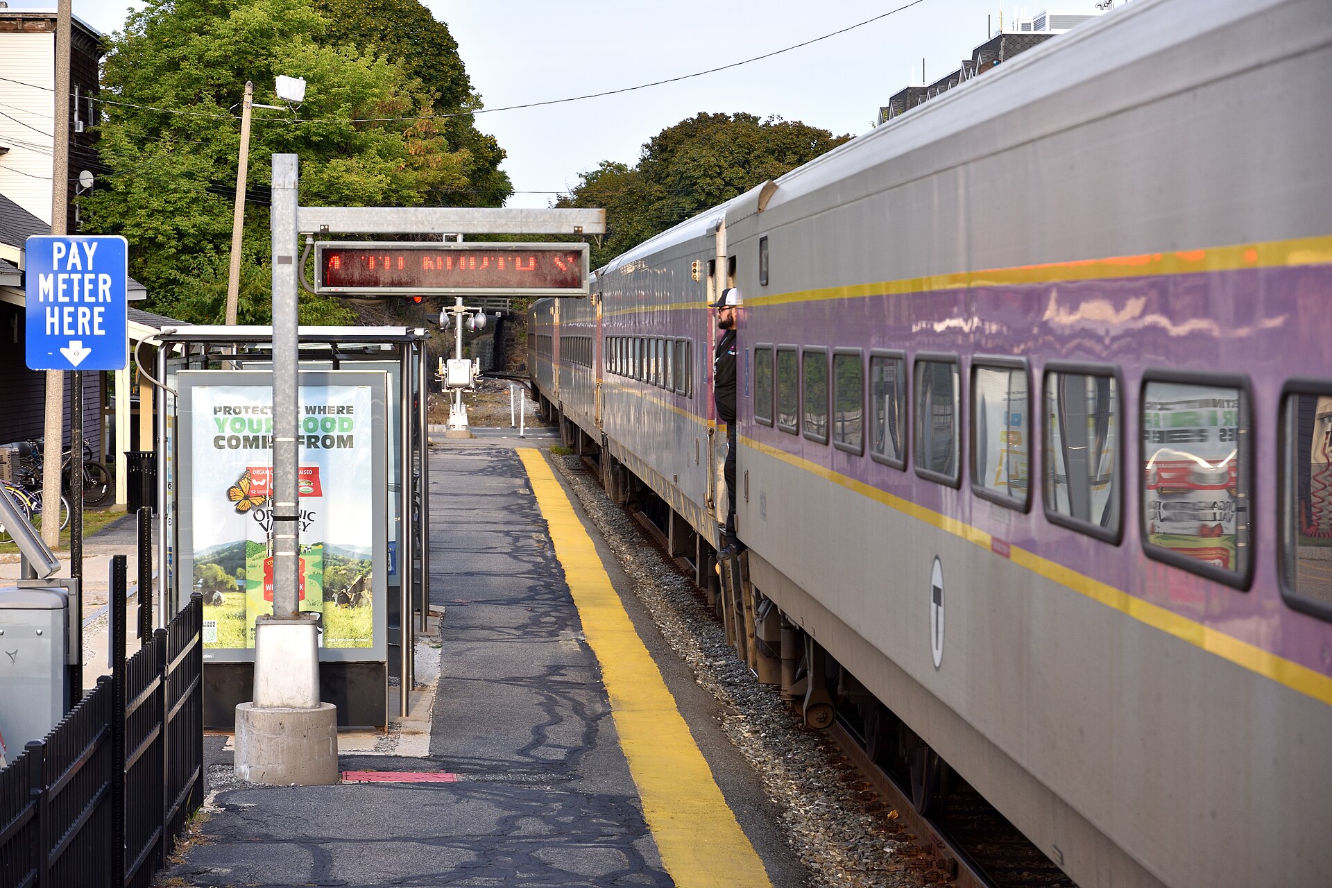
- Lansdale/Doylestown Line. The Bucks County stations are Doylestown, Delaware Valley University, New Britain and Chalfont. Everything past Chalfont, including Lansdale itself, is in Montgomery County. This is the second busiest line in SEPTA Regional Rail at about 9,257 daily riders. Doylestown is the end of the line, so trips are longer than the Lansdale timings widely quoted online. Pull the current timetable for your station rather than trusting a number.
- West Trenton Line. Bucks stations include Trevose, Neshaminy Falls, Langhorne, Woodbourne and Yardley, terminating at West Trenton in New Jersey, with about 7,253 daily riders. The NJ Transit connection at West Trenton is a bus, route 608, not a rail transfer. Do not plan a New York commute around this line.
- Trenton Line. Bucks stations are Cornwells Heights, Eddington, Croydon, Bristol and Levittown, terminating at Trenton Transit Center, with about 7,937 daily riders. Cornwells Heights is the busiest SEPTA Regional Rail station outside Center City. This is the New York line: Trenton Transit Center is the southern terminus of NJ Transit’s Northeast Corridor Line into New York Penn Station, and Amtrak serves Trenton as well. The transfer works, it is a genuine option for Lower Bucks, and the total time depends heavily on how your two schedules line up.
By road, the county runs on I-95, the Pennsylvania Turnpike, U.S. 202, PA 611 and U.S. 1. I-95 is the Lower Bucks spine into Philadelphia, with U.S. 1 paralleling it through Penndel, Langhorne and Morrisville. PA 611 is the north-south corridor through Doylestown. U.S. 202 runs the Doylestown to King of Prussia diagonal. The Turnpike crosses Lower Bucks east-west and hands off to the New Jersey Turnpike at the Delaware River Bridge. Drive times swing so much by hour that any single number misleads. Test your actual commute at your actual departure time.
Utilities, water and trash
PECO serves most of Bucks County for both electricity and natural gas, with more than 1.6 million electric customers and roughly half a million gas customers across its southeastern Pennsylvania territory. Parts of northern and Upper Bucks fall inside PPL Electric Utilities territory instead, so confirm by address rather than by town.
Pennsylvania runs a deregulated retail electricity market. You can shop suppliers while your utility still owns the wires and restores power after a storm. The Public Utility Commission runs the comparison site at PA Power Switch.
Water and sewer are fragmented. The Bucks County Water and Sewer Authority, formed in 1962 under the Pennsylvania Municipal Authorities Act and based at 1275 Almshouse Road in Warrington, serves more than 100,000 accounts and roughly 525,000 people. Plenty of municipalities run their own authorities instead. In rural Upper Bucks, private wells and on-lot septic are common, and both are a real cost and inspection issue. Budget for a septic inspection and a water test, and ask how old the system is.
Trash is arranged municipality by municipality, and this is the detail people discover after closing. Some townships and boroughs contract a single hauler and bill it through municipal taxes or a flat fee. Others leave every household to contract privately, so your neighbors may use three companies on three different days. Call the municipal office and ask before you buy.
What housing actually costs
The county median sale price has been running near $548,000, up about 7.4 percent year over year, on roughly 683 sales in a month, with a median 24 days on market, more than half of homes selling above list and a sale-to-list ratio around 101 percent. Those are Redfin market-tracker figures and they move constantly.
Notice the gap between that and the Census median owner-occupied value of $445,700. Both are correct, and they measure different things. The Census figure is what owners say all of their homes are worth, including houses bought decades ago and never renovated. The sale price is what the subset of homes that actually traded went for, and those skew newer, larger and better located. Neither one is out of date.
Town-level medians move too fast to print responsibly here, but the ordering is stable. New Hope, Yardley, Newtown and Doylestown sit at the high end. Levittown, Bristol and Bensalem sit lower. Quakertown and Perkasie land in the middle. Pair that ordering with the millage table above and the pattern is obvious: the towns with the lowest tax rates are the towns with the highest prices, and you pay for the school district either way.
Sources and Further Reading
- U.S. Census Bureau QuickFacts, Bucks County
- Bucks County official millage rate schedule
- Bucks County government
- PA DCED, homestead and farmstead exclusion
- PA Municipal Statistics, local tax lookup by address
- PA DCED, local income tax information
- City of Philadelphia, Wage Tax
- SEPTA schedules and Regional Rail
- PA Power Switch, electricity supplier comparison
- Bucks County Water and Sewer Authority
- Bucks County School Districts Compared
- Bucks County towns index
Millage rates, enrollment counts and state data are updated annually. If you spot a figure that has moved or an error we should fix, send us a correction.